
Danville ZIP Code Coverage
Official local materials commonly use three Danville ZIP codes, but neither the city nor county publishes an authoritative polygon map for every postal boundary. The table therefore states only what the research supports. Exact delivery status belongs to the U.S. Postal Service, while parcel, township, and city status belong to local government systems.
| ZIP Code | Areas Covered | Post Office | Notes |
|---|---|---|---|
| 61832 | Core Danville mailing addresses and much of central Danville | Verify by exact USPS address | Includes the county civic complex; postal and city lines differ |
| 61833 | Danville PO-box or secondary delivery use appears in local addresses | Exact status not established locally | Do not assign it to a separate neighborhood without USPS proof |
| 61834 | North and outer Danville mailing addresses | Verify by exact USPS address | Delivery area can extend beyond municipal limits |
The ZIP code directory cannot label 61833 as definitively PO-box-only or unique because no inspected official source confirmed that status. Likewise, no supported split year or complete station list was found. For 61834, Sunset Memorial Park's north Vermilion Street address confirms an outer Danville postal use, but it does not define the whole boundary.
Verify Each Danville ZIP Code
The USPS ZIP Code Lookup is the authority for an exact mailing address. Enter street, city, and state, then preserve the standardized street spelling, postal city, five-digit ZIP, and ZIP+4. USPS may return Danville as the delivery city even when a parcel sits outside Danville's corporate limits.
| USPS input or output | How to use it |
|---|---|
| Street address | Enter the full house number, directional, street name, and unit. |
| City and state | Use Danville, Illinois first, then follow the standardized result. |
| Five-digit ZIP | Use it to narrow only services that offer a ZIP field. |
| ZIP+4 | Save the delivery-point refinement for address verification. |
A postal match confirms mail routing, not ownership or occupancy. It should be paired with the parcel system before a name is tied to an address.
Map Danville ZIP Geography
Danville GIS Central and Vermilion County's REACH map answer different parts of a location question. City GIS maintains municipal address, property, infrastructure, utility, ward, zoning, and business layers. County GIS connects parcels with township, tax, and assessment geography. Neither inspected public page offers a simple, official ZIP-boundary layer that can replace USPS verification.
The Danville Geographic Information Systems office explains its address and map services:
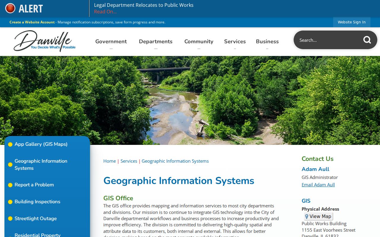
Use this city source to test whether the standardized postal address also appears in Danville's municipal address layer.
For a custom county data need, Technology Services routes a GIS Data Request Form and release form through costing, county approval, billing, payment, and delivery. That is the documented fallback when a public map cannot provide a ZIP-wide parcel set.
Find Danville Residents by ZIP
No official portal in the research produces a complete list of Danville residents by ZIP. Instead, use each ZIP code as a filter only where the record system supports it. The assessor exposes City and Street fields and returns a Postal Code, but its visible search form has no ZIP field. I-Cash accepts ZIP as an optional clue. The Illinois State Police registry also has a ZIP field, but that search is limited to the registry and is not a resident roll.
- Verify the complete mailing address with USPS and save its standardized ZIP and ZIP+4.
- Search Vermilion Devnet by street, house-number range, city, owner, or parcel. Read Postal Code from the result.
- Compare the parcel in county REACH and Danville GIS to determine municipal, township, and district context.
- Use a ZIP field only in the specific public system that supplies one, and keep that record's purpose attached to the result.
- After the ZIP narrows the area, use the Danville street directory for street-level parcel and address work.
This process protects against a common mistake: treating an owner mailing address, unclaimed-property address, or registry address as proof of every current occupant. Each is a distinct official record with its own scope.
Search Danville Parcels Without ZIP
The Vermilion property portal's visible controls include Parcel Number, Tract Number, Owner Name, House Number Low and High, Street Name, City, sale price and date ranges, township, tax district, property class, and tax-year ranges. Its mobile-home tab accepts mobile-home number, owner, house number, street, city, and tax-year choices. A ZIP code directory search must work around the absence of a direct ZIP input.
The result can expose a postal code along with the property ID, address, legal description, owner information, tax year, and assessments. The local parcel-card example is instructive: its owner mailing address was in Urbana, while its site address was in Danville 61832. That split shows why the postal code beside an owner is not always the code of the land being researched.
Key distinction. Copy both the site address and owner mailing address. Only the site address identifies where the Danville parcel lies.
For a large ZIP request, search known streets and city strings or request GIS data. Do not claim that the assessor has a ZIP filter it does not show.
Danville ZIP-Filtered Record Leads
Two state tools accept ZIP, but each answers a narrow question. The Illinois State Police registry accepts name, date of birth, city, ZIP, county, status, offender type, and map location. It is updated daily and covers only people in that statutory registry.
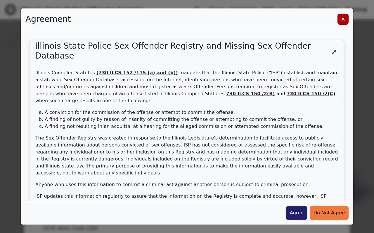
The ZIP field narrows this one registry. It does not supply a count or directory of everyone in 61832, 61833, or 61834.
Illinois I-Cash also accepts ZIP as an optional narrowing field in an owner search. Its field definitions make clear that city and ZIP belong to an unclaimed-property record:
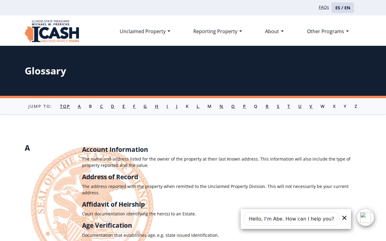
An I-Cash match can help reconnect an owner or heir with property held by the state, but it is not proof of a present Danville address.
Danville ZIP Codes Change Context
ZIP is a weak key for older Danville research. The local archive reaches much farther back than modern postal coding, and no dated citywide ZIP realignment or street-renumbering list was found. Old directories, Sanborn maps, Recorder legal descriptions, GIS parcels, and newspaper notices provide the bridge.
Danville Public Library reports city directories from 1874 to the present, Sanborn maps from 1884 through 1970, and local newspapers from 1833 forward. A 1909 Polk directory includes a Street Number Guide. The Library of Congress lists Danville criss-cross volumes, arranged by address rather than surname, for 1980 through 1996.
When an old street address will not validate in the current ZIP code directory, test the street name, nearby house numbers, lot and block, ward, and township. Preserve the date of every source. A modern 61832 result cannot be projected backward onto a nineteenth-century record.
Danville ZIP and City Limits
Postal boundaries, corporate limits, townships, wards, precincts, and tax districts serve different purposes. Vermilion County spans 898 square miles, and Danville is its county seat. Older census schedules place the city across Danville and Newell townships. A mailing address labeled Danville can therefore sit in a different municipal or tax context than the ZIP name suggests.
- ZIP and ZIP+4
- The five-digit ZIP routes mail to an area; the added four digits refine a delivery segment or point.
- PO-box ZIP
- A code used for post-office-box delivery. Official USPS evidence is needed before applying that label to 61833.
- Unique ZIP
- A code assigned to one high-volume institution rather than a broad neighborhood. None was verified for Danville in the local sources.
- Carrier route
- A postal delivery path within a ZIP, not a city, parcel, or neighborhood boundary.
Census ZIP Code Tabulation Areas are generalized statistical shapes, not exact USPS routes. Neighborhood names such as Lincoln Park, Maywood, West Downtown, Center City, and Vermilion Heights also lack full dated boundary maps on the city association page. Use those labels only when a map, parcel, directory, or planning record supports them.
Note: A Danville postal city proves delivery routing, while GIS and parcel records establish the address's governmental geography.