
Danville Neighbor Record Sources
Each source answers a different block-level question. The county map defines which parcels are truly next door, including rear lots that may not share the same street name. The tax roll adds an owner and mailing address. City address data helps standardize a location. Registration lookup and old directories can add person evidence, but neither supplies a public roster of every household on a Danville block.
| Danville source | Block-level evidence | Access route |
|---|---|---|
| REACH Assessor Map | Parcel outlines, adjacent lots, roads, and mapped context | Free dynamic county viewer |
| Devnet property roll | Owner, site address, mailing address, PIN, class, and tax-year context | Free parcel search |
| City GIS address layer | Standardized municipal address and spatial attributes | Public JSON service, capped at 2,000 records |
| Voter status lookup | A named voter's current registration address and polling place | Name and date-of-birth search, not block browse |
| Neighborhood associations | Named community area and public civic contact | City inventory; no member rosters found |
| Criss-cross directory | Past occupants arranged by address | Danville inventory for 1980 to 1996 |
An assessor name proves a tax-record relationship to a parcel. It may belong to an absentee owner, trust, company, lender, or record that has not yet caught up with a transfer. A matching site and mailing address can support an owner-occupancy inference, but it still does not name every resident. Renters, shared households, and people using protected addresses may not appear in any property result.
Click Around a Danville Address
Open the Vermilion County REACH Assessor Map and locate the starting parcel. The live site is a dynamic map shell, so the research did not verify a named buffer tool or promise a one-click neighbor report. The reliable method is visual: select the starting lot, note its parcel number and shape, then click each touching or facing parcel separately.
Map adjacency matters more than house-number order. A corner parcel may front a different road. A deep rear lot can touch the starting land without looking nearby in an address list. Treat a map centroid as a screen aid, not a legal boundary. If precise county GIS data is needed, Technology Services accepts a data request and release form, obtains a cost, routes approval, bills the request, and releases data after payment.
Note: Save the PIN before saving a name, since names and mailing addresses change more often than the parcel identifier.
Map Danville Neighbors by Parcel
Move from map geometry to names one lot at a time. The Vermilion County property-tax portal accepts parcel number, owner, house-number range, street, city, township, sale dates, and tax-year ranges. Record the result's tax year along with the name. A current name copied without its date can become stale evidence.
- Find the known address in REACH and copy its PIN, parcel shape, and street frontage.
- Click each parcel that touches or faces it, then make a separate row for each PIN.
- Open the property record and copy owner, site address, mailing address, tax year, and any occupancy-related exemption flag.
- Mark owner and possible occupant as different roles. Confirm a named person with another dated source.
- For every parcel along the road, switch to the full Danville street directory workflow.
The parcel card's legal description, subdivision, lot, block, and township can reveal that several nearby properties share a recorded plat. The Recorder holds subdivision plats, surveys, and monument records. That common land framework explains a block more reliably than assuming all close house numbers were created at the same time.
Standardize Danville Block Addresses
County parcels and city addresses are related systems, not duplicates. Danville GIS Central maintains property, zoning, ward, utility, infrastructure, and address layers. Its public address FeatureServer supports JSON queries with a 2,000-record maximum. The top service page does not expose a verified owner field or historical coverage date, so use it to confirm address form and city spatial context, not to name nearby people.
Zoning and permit records add facts about land and building work. They are not household directories. Citizenserve is verified as an application workflow, but no open historical address-results table was found. For a specific file, request the address, parcel, permit type, rough year, inspections, and certificate records through City Community Development or a focused Danville FOIA request.
Danville Neighborhood Association Layer
The city's Neighborhood Associations inventory names nine local groups. These labels can orient a block and point to public meetings or civic projects. They are not surveyed boundaries, homeowner associations, or resident rolls. No public member directory was located. Ask the city or the group for public contact information, meeting records, or project material without requesting private membership details.
| Association label | How it helps block research |
|---|---|
| Center City, West Downtown | City-core labels for meeting and project context |
| Chesterfield, Holiday Hills, Legionland | Named community areas in the city inventory |
| Lincoln Park, Maywood | Useful local labels to pair with GIS and historic maps |
| Vermilion Heights | Neighborhood term that should be checked against parcel facts |
| Elmwood Park Community and Civic Group | Listed civic organization, not proof of household membership |
The city page captures the official association inventory.
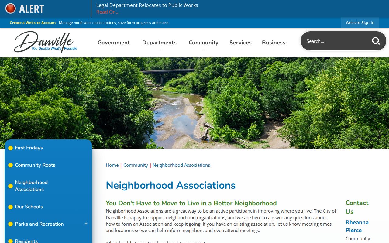
The screenshot is best read as a civic starting point. It does not supply names of all households within any listed area.
Check Danville Voters Carefully
The county voter route is person-first. A search uses a name and date of birth, then returns current registration address, polling place, and polling-place address for a match. It does not offer a public command to display all registered voters on a street or block. Danville city voters also sit within a separate city election-authority structure, so county and city routes should not be treated as one bulk directory.
Vermilion County voter maps can place an address in a precinct or district.
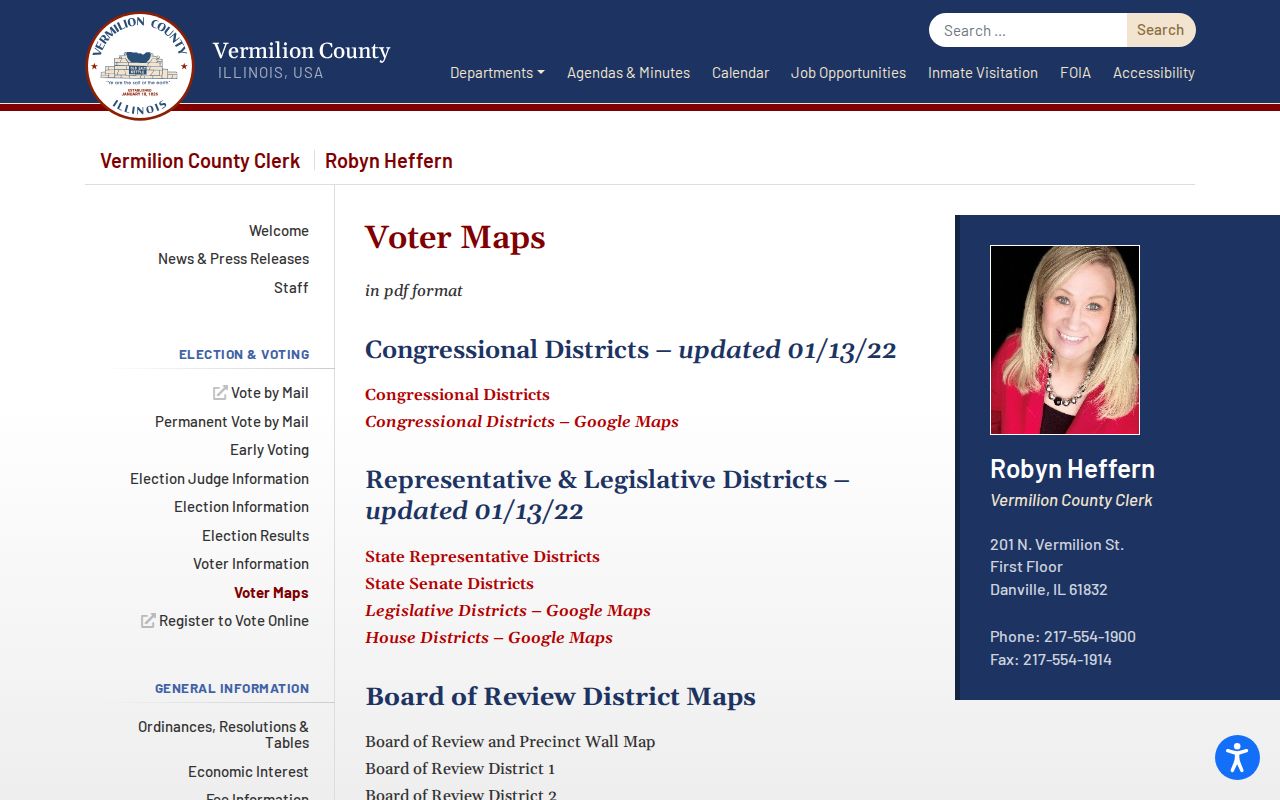
Use the map to resolve jurisdiction and polling geography, not to estimate how many people live on the block. Participation history never reveals how a person voted, and protected address-program participants are excluded from public voter lists.
Danville Records Versus People Tools
Official records are narrower but explain their purpose. A parcel roll identifies a tax owner. GIS maps the land. A voter result confirms one registration record. Commercial people-finding products combine many feeds, but they can merge names, retain old addresses, or imply household ties that no custodian has verified.
| Method | Strength | Limit |
|---|---|---|
| County and city records | Dated source, defined field, responsible custodian | No complete household list |
| Community organizations | Local context, meetings, and projects | Participation is voluntary; rosters may be private |
| Commercial category | May combine old contact clues | Unknown update cycles and frequent relationship errors |
A sound block file records the source URL, access date, and the role shown beside each name. It does not turn an owner, deed party, voter, or association contact into a claim of present residence.
Route Danville Block Questions
The Danville municipal office directory routes questions to GIS, planning, the City Clerk, and other departments.
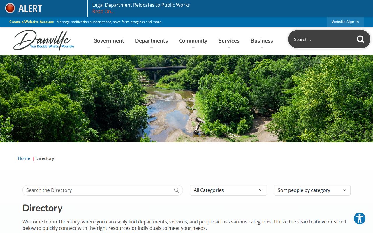
Use the office tied to the record: GIS for municipal spatial layers, Planning and Zoning for land-use files, and the City Clerk for public-record routing. A precise address, parcel, date range, and record type helps staff answer without guessing which file is meant.
Read Past Danville Neighbors
For an older block, start with the address-first criss-cross directories inventoried for Danville from 1980 through 1996. Work one year at a time and copy the street prefix, house number, spelling, and any occupant or telephone notation exactly as printed. A non-owner occupant may appear where the tax owner does not. A business entry may mark use of the site without describing a household.
Earlier periods call for the city-directory shelf and Sanborn maps. The library reports directories from 1874 forward and fire-insurance maps from 1884 through 1970. Compare adjacent entries because they can reveal an old numbering pattern. Then use the parcel's legal description, subdivision, or plat to connect that printed block to current GIS. No verified citywide renumbering schedule was located, so a number change must be proved for the address at hand.
Danville and Newell township labels also matter in older census descriptions. Preserve the ward, township, street form, and neighboring surnames before normalizing the address. Those nearby names often help identify the right census page when street indexing is weak.
Protect Your Danville Neighbors
Public access has firm limits. Utility customer and delivery records are not public neighbor directories. Driver-address data is restricted. The Illinois Address Confidentiality Program provides a substitute address and mail forwarding for qualifying victims, and protected participants' voter information is withheld from public lists. Recorder computer images hide Social Security numbers even though the original recorded instrument is not altered.
Use the least identifying field that answers a fair personal question. Do not republish full birth dates, protected addresses, identification numbers, or private phone data. If a record is wrong, the correction belongs with its custodian: assessment questions go to the assessment office, voter errors to the election authority, and recorded-instrument corrections through the Recorder's process.
Lawful use. Research block records for civic curiosity, reconnection, or personal safety. Never use them to watch, intimidate, threaten, or harass anyone.