
Walk a Danville Street Directory
Start with the exact house number and street spelling. The Vermilion County property-tax inquiry accepts a low and high house-number range, a street name, and a city. Its results identify tax parcels and owners, not a complete list of residents. Copy the parcel number, site address, legal description, tax year, and owner mailing address. Those fields let the same address move between the assessment roll, GIS, and recorded deeds without relying only on a name.
- Confirm the postal form and keep any directional prefix or street suffix.
- Search the assessor by street and number range, then save the parcel number and site address.
- Open the county parcel map or Danville address layer and inspect the lots beside the target.
- Use the owner and legal description to locate the purchase deed, then follow each prior grantor.
- For an older occupant, consult the library’s address-first criss-cross volumes and record the printed year.
This chain distinguishes what each record proves. A tax owner may live elsewhere. A deed party may be a trust, lender, estate, or spouse. A printed entry reflects its publication period. Dates matter at every step.
Keep a small source log while moving down the block. For each Danville address, note the portal, tax or publication year, exact street form, parcel identifier, and the role attached to each name. Mark a person as an owner, grantee, voter, directory occupant, or permit applicant only when the source supports that role. This prevents one weak match from spreading through the rest of the street search. It also makes later corrections simple when an assessment changes, a deed posts, or an archive volume supplies a better spelling.
Search Danville Parcels by Street
The assessor’s public form is the strongest first pass for a modern Danville street directory. It can search a span of house numbers instead of forcing one parcel at a time. The mobile-home tab also accepts owner, house number, street, city, and tax-year choices. Results may show a postal code, property description, assessments, services, and owner information. The portal displayed an August 21, 2026 update when researched, which marks freshness on that date but does not promise a fixed archive range.
| Search field | Input | Use on a street |
|---|---|---|
| House Number Low / High | Number range | Walk a selected part of a block |
| Street Name | Text | Find address-keyed parcels |
| City | Text or selection | Narrow results to Danville |
| Owner Name | Text | Check the tax-roll spelling |
| Parcel or Tract Number | Text | Return to a known property |
| Tax Year Low / High | Year | Test available assessment years |
A verified parcel-card specimen shows why labels matter. It carried separate GIS and assessor parcel numbers, a Danville site address, an Urbana owner mailing address, a tax key, township, acreage, legal description, and exemption flags. That is property evidence. It is not proof that the named owner occupies the Danville site.
Decode Danville Street Records
Several short terms keep a by-address search accurate. Copy them as printed, because the same Danville parcel can carry more than one identifier.
- Parcel or PIN
- The county identifier used to connect a tax card, mapped lot, and related records.
- Situs address
- The physical site of the parcel, which can differ from the owner’s tax-mailing address.
- Plat
- A recorded map that divides land into lots, blocks, streets, or subdivisions.
- Criss-cross directory
- An address-first volume arranged by street and house number rather than surname.
Danville lies within a wider municipal, township, county, postal, election, and tax grid. Older census schedules may place city addresses in Danville or Newell township. A Danville postal city also does not settle the municipal boundary. Keep the postal label, township, city status, and parcel identity as distinct facts.
Map Danville Streets and PINs
The Vermilion County REACH Assessor Map supplies the parcel view that a text list lacks. County Technology Services handles data requests when the viewer does not provide a needed layer or export. Its process requires cost, request, and release forms. The vendor determines the cost, the requester and county approve it, and the data follows payment.
Danville also maintains a separate municipal address FeatureServer. It supports queries and lists a 2,000-record maximum. It is an address dataset, not a people roll. Use it to confirm mapped points, then return to county parcel evidence for ownership.
The captured county GIS request page shows where custom data questions are routed.
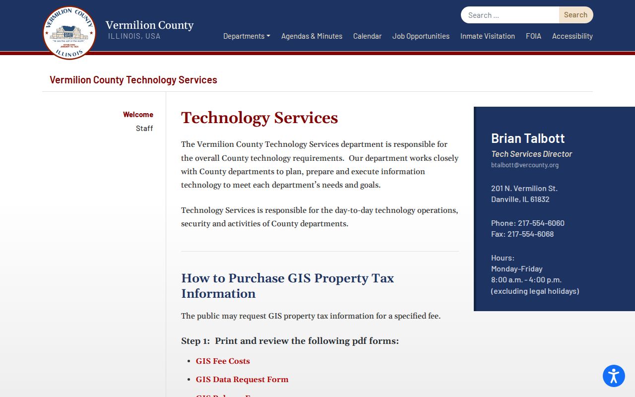
The county page is the fallback when a Danville street search needs an approved export instead of an on-screen parcel check.
Danville Street Records Compared
Each address source answers a narrower question. Together they form a practical Danville street directory, but none should be treated as a household census.
| Record | Keeper | What it shows | Access |
|---|---|---|---|
| Property roll | Supervisor of Assessments | Tax owner, site and mailing addresses, PIN, values | Free Devnet search |
| GIS map | County Technology Services | Lot geometry and adjacent parcels | Viewer; requested exports may cost |
| Deeds and liens | Vermilion County Recorder | Recorded parties, instruments, dates, legal descriptions | Free index, paid vendor, office media |
| Voter status | County Clerk or city commission | One known voter’s registration and polling place | Name and birth-date lookup |
| Permits and zoning | Danville Planning and Zoning | Land use, applications, inspections, certificates | Portal, staff request, or FOIA |
The PIN and legal description provide the firmest links. Street spelling helps with assessment and permit searches. Voter access is person-first, so it cannot list all voters on one block. County voters outside Danville and voters within the city also use different election authorities.
Follow a Danville Street Deed
The Vermilion County Recorder land-record search begins with names rather than a full street browse. Take the current owner and legal description from the parcel card. Find the deed where that owner was grantee, the party receiving an interest. Then search the grantor, the party transferring that interest, as a grantee on an earlier deed. Repeat while checking lot, block, subdivision, PIN, and recording date.
The free remote name index begins in July 1987 and has no images. Paid Tapestry and subscription Laredo provide broader fields and image options. Three free office computers are another route. The Recorder holds books back to 1826, while microfilm or microfiche bridges the 1959–1987 digital exception. Mail copies require a book/page or document number, a check at $1 per page, and a stamped return envelope. Staff do not conduct title searches.
Timeline key. Danville street evidence may be online, on an office computer, in a deed book, or on film. A blank web result is not proof that no deed exists.
Check Danville Address Permits
Danville Planning and Zoning keeps the land-use side of an address trail, including zoning verification, rezoning, variance, special-use, planned-unit development, sign, and vacation materials. Zoning tells how land may be used. It does not name everyone who used a building.
The Danville permits page routes applications through Citizenserve. Research did not verify a public historical permit-result screen, so prior permits, inspections, certificates, or code files may need a focused request. State the parcel address, likely permit type, and a date range. Under Danville’s 2026 FOIA procedure, put the full request in the email body rather than only in an attachment or link.
The city permit guidance appears in the capture below.
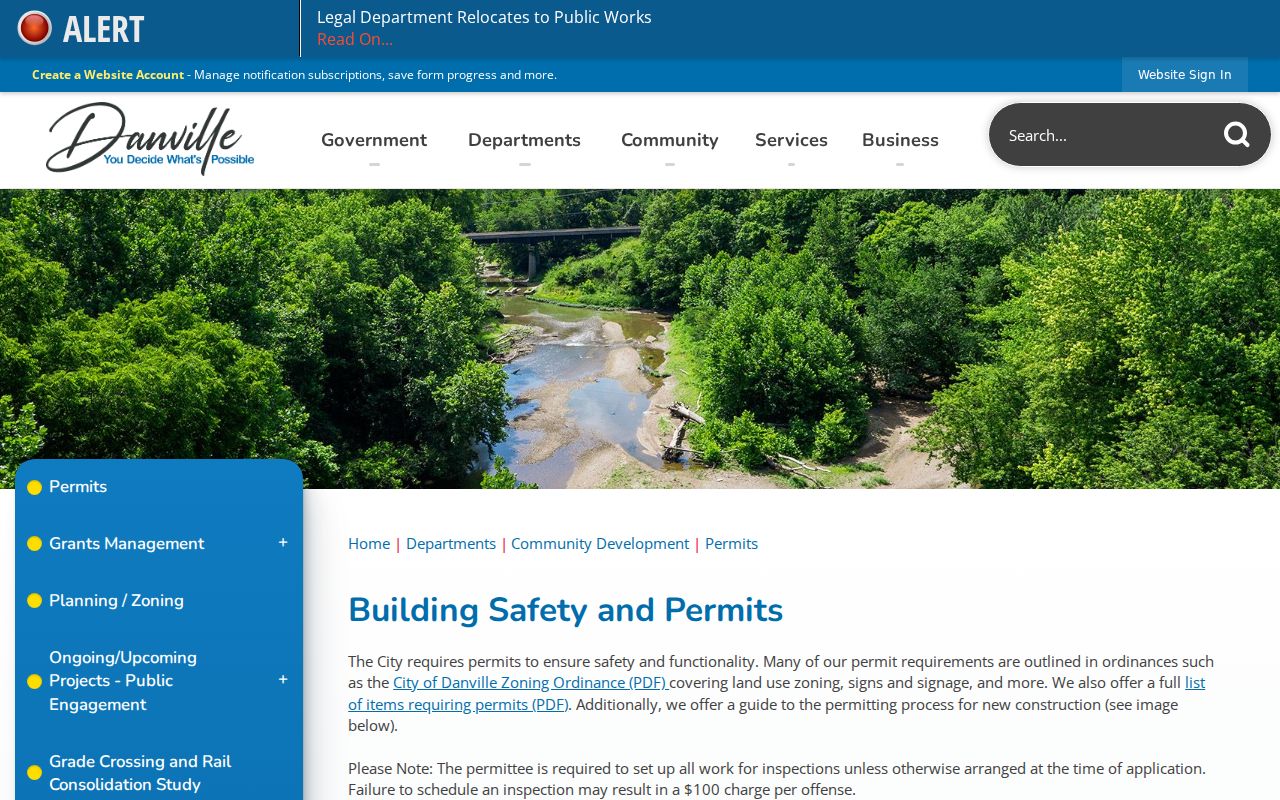
It points to the application and inspection channel when parcel and deed indexes cannot explain work at a Danville address.
Note: Permit applicants and parcel owners may differ, so compare names and dates before linking either one to an occupant.
Reverse Danville Streets in Print
For older occupants, the address-first tool is a criss-cross directory. The Library of Congress inventory identifies a Danville run from 1980 through 1996. Work one volume at a time and preserve directional letters, street suffixes, house numbers, and exact printed names. A listed occupant might be a renter or business and may not match the tax owner.
Earlier city directories are mainly name-first, but the 1909 R.L. Polk volume includes a Street Number Guide on page 23. Danville Public Library holds city directories from 1874 forward and Sanborn maps from 1884 through 1970. Compare nearby numbers and structures when an old number does not match the current GIS point. No official dated citywide renumbering list was found, so changes must be shown address by address.
The historical shelf and publisher context belong to the Danville city directory collection. That source can extend a street search into years before modern parcel portals.
Limits of Danville Street Lookup
A Danville street directory cannot produce a complete household list. Assessment records identify tax ownership. Recorder indexes identify parties to instruments. City GIS maps places. The voter lookup confirms one known voter and polling place after a name and date of birth are supplied. None proves every adult, child, renter, guest, or worker at an address. Utility customer and delivery lists are not public, and motor-vehicle address data is restricted by federal law.
Protected voters and confidential court or vital records may be absent by design. Illinois also operates an Address Confidentiality Program for qualifying survivors, using substitute-address and mail-forwarding safeguards. Respect those limits. If records conflict, preserve each source date and ask the named custodian for context.
Lawful use. Danville address records are for lawful personal research, property history, and civic review. Never use them to stalk, harass, threaten, or intimidate anyone.